|
|
Here is an idea that I wanted to try for a long time:
Combine XC and Competition-Training while maximizing both the XC-points, the
trainings-effect and of course the fun!
The idea is to use competition waypoints and decide on a possible, but flexible
"task" on takeoff,
that consists of 3-4 mini-task-legs. To achieve the best trainings effect, we
should set a few points far apart,
which leaves a lot of options for routes. At each point, we will wait for about
5-10min so the slower pilots can catch up.
This has the following advantages:
We have tried this with Damien and Steve taking slightly different routes,
and it was
fun to see which was more efficient.
If you want to try this, you can load the waypoints here:
http://www.talloires2012.org/en/telechargements
If they are no longer available there, I have a local copy
here
The coverage is great, so whatever we want to do, we can surely find waypoints
that fit!
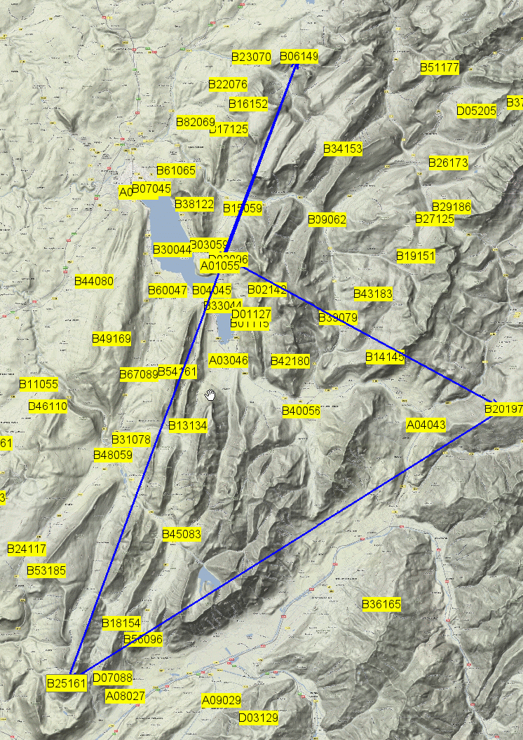
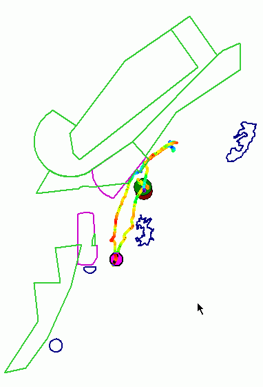
Here an example (!) of a possible task:
• D02 - Planfait-Takeoff
• B20 - Bisanne
• B25 - Pic de la Sauge
• B06 - Col de l Enclave
• A01 - Planfait-Landing
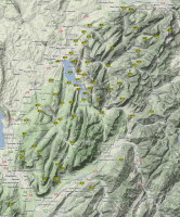
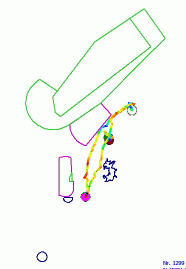
Here is an even nicer rendering of this waypoint-map to download:
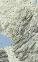
And here (almost) the
same on Toms Route-Planner:

For the Start-Timing, it is slightly different than the traditional race:
We all try to get up to the Dents as quickly as possible, and we will wait there
Ideally in a gaggle, SE of the peak so we can see if everyone is up.
As soon as we are all approximately at cloudbase we announce the
start on the Radio.
Here are some waypoints from Tom (<-
rightclick for download)
for trainings on the East Lake Geneva / Montreux region:
This is a space to document anything that goes beyond what I wrote
about Aispaces on my
XC-Page. So read that first if you haven't yet.
Thanks to the PWC Website we now
also have a great Airspace file!
With that you can (at least try to) avoid what happened to DroinDroin in the
Grenoble ZIT
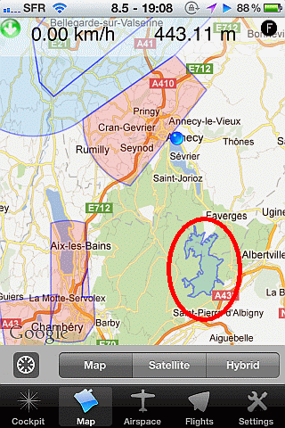
For those of you who use Thermgeek or another Application
on their iPhone
or other phone that can use OpenAir format,
you can simply upload it in the
application from this location: (to download on PC,
rightclick on the link)
http://ulrichprinz.de/air/annecy/airspace/Airspace-Annecy.txt
(screenshot)
( In that file I have also included Geneva TMA6 and TMA8 )
I have also created a shorter Version, which is a little less cluttered:
http://ulrichprinz.de/air/annecy/airspace/Airspace-Annecy-Min.txt (screenshot)
This is how it looks in Thermgeek:
Note that they also included the Bauges, which I had
not seen before
in OpenAir Format!
I have copied it to my page, because
1) the PWC website will surely vanish again later this year.. and
2) I also want to keep it updated there if the spaces change over time.
One thing I am still looking for is the Chamonix No-Fly Zone
in OpenAir format. If someone has that, I’d be most delighted!
PS: I just learned yesterday that the Annecy Airspace is
actually just reaching up to 3500ft = 1067m above sealevel!
This means you could fly over it some way e.g. from
Parmelan if there is are high clouds and you want to
extend an FAI towards the west…
PPS: Joel Favre also told me that he has already led his XC-Group
*around* the Annecy CTR, going up North towards Bonneville,
then west in the convergence that sometimes forms there,
over to the Saleve, then down and back via Rumilly.
I would really love to try this after the PWC!
While not a record fligh, it is probably almost as
special and memorable!